
Sie verfolgen jetzt diese Einreichung
- Aktualisierungen können Sie in Ihrem Feed verfolgter Inhalte sehen.
- Je nach Ihren Kommunikationseinstellungen können Sie auch E-Mails erhalten.
Zitieren als
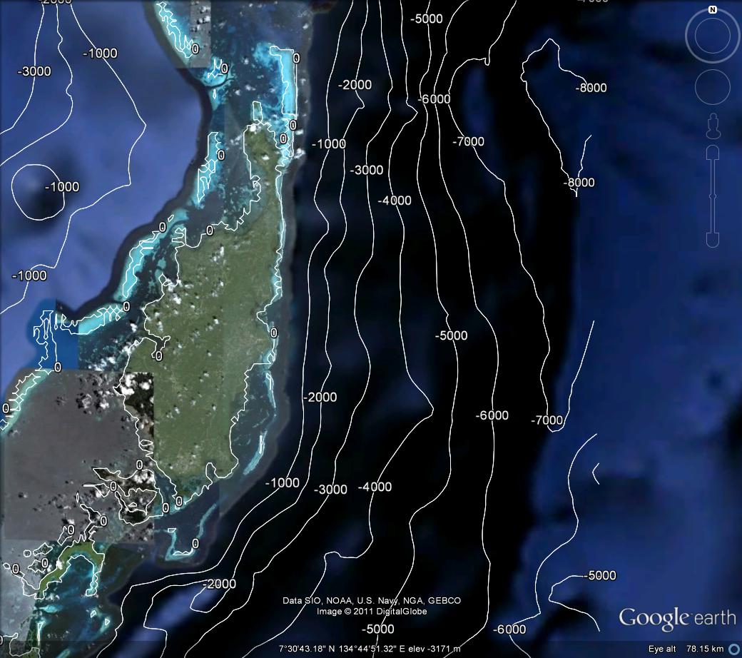
Cameron Sparr (2026). kml contour plot (https://de.mathworks.com/matlabcentral/fileexchange/33800-kml-contour-plot), MATLAB Central File Exchange. Abgerufen .
Allgemeine Informationen
- Version (3,49 KB)
Kompatibilität der MATLAB-Version
- Kompatibel mit allen Versionen
Plattform-Kompatibilität
- Windows
- macOS
- Linux
| Version | Veröffentlicht | Versionshinweise | Action |
|---|---|---|---|
| 1.3.0 | Changed the contour labelling algorithm so that it uses the MATLAB native scheme when given lon,lat,z as a grid, and the proprietary scheme when lon,lat are a list. |
||
| 1.2.0 | Added support for changing the color and width of the contour lines. |
||
| 1.1.0 | added link to python version |
||
| 1.0.0 |

