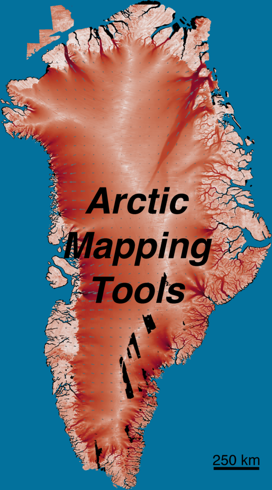
Arctic Mapping Tools
Or: Antarctic Mapping Tools for Matlab, Greenland Edition

Sie verfolgen jetzt diese Einreichung
- Aktualisierungen können Sie in Ihrem Feed verfolgter Inhalte sehen.
- Je nach Ihren Kommunikationseinstellungen können Sie auch E-Mails erhalten.
Zitieren als
Greene, Chad A., et al. “Antarctic Mapping Tools for Matlab.” Computers & Geosciences, vol. 104, Elsevier BV, July 2017, pp. 151–57, doi:10.1016/j.cageo.2016.08.003.
Quellenangaben
Inspiriert von: ncpolarm, polar stereographic coordinate transformation (map to lat/lon), polar stereographic coordinate transformation (lat/lon to map), Antarctic Mapping Tools, Arctic Sea Ice
Inspiriert: matrasterlib, BedMachine
Allgemeine Informationen
- Version (7,25 MB)
-
 Lizenz auf GitHub anzeigen
Kompatibilität der MATLAB-Version
- Kompatibel mit allen Versionen
Plattform-Kompatibilität
- Windows
- macOS
- Linux
| Version | Veröffentlicht | Versionshinweise | Action |
|---|---|---|---|
| 1.5.0 | connecting to github |
||
| 1.4.0 | Fixed upload error. |
||
| 1.3.0 | Added modismog |
||
| 1.2.0 | Added ability to change meridian in plotting functions. Also added an example with BedMachine. |
||
| 1.1.0 |
Um Probleme in diesem GitHub Add-On anzuzeigen oder zu melden, besuchen Sie das GitHub Repository.
Um Probleme in diesem GitHub Add-On anzuzeigen oder zu melden, besuchen Sie das GitHub Repository.

