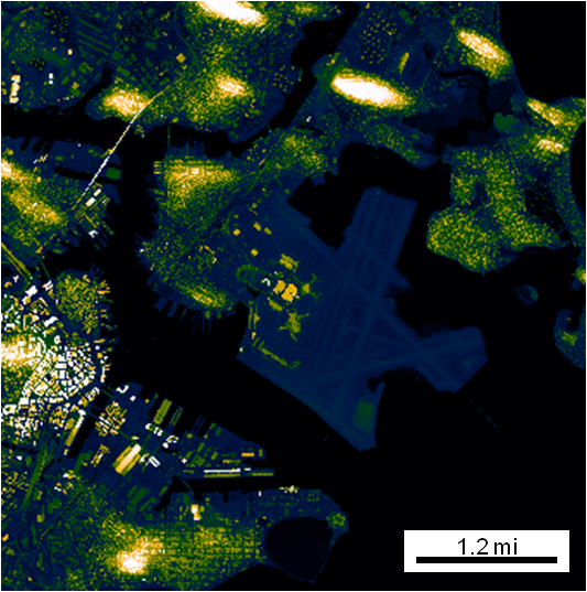
Automatic Map Scale Generation
Intelligently creates and places a scale on a figure based on the lat/lon limits.

Sie verfolgen jetzt diese Einreichung
- Aktualisierungen können Sie in Ihrem Feed verfolgter Inhalte sehen.
- Je nach Ihren Kommunikationseinstellungen können Sie auch E-Mails erhalten.
Zitieren als
Jonathan Sullivan (2026). Automatic Map Scale Generation (https://de.mathworks.com/matlabcentral/fileexchange/33545-automatic-map-scale-generation), MATLAB Central File Exchange. Abgerufen .
Quellenangaben
Inspiriert: gdistm, plot_openstreetmap, zoharby/plot_google_map
Allgemeine Informationen
- Version (3,94 KB)
Kompatibilität der MATLAB-Version
- Kompatibel mit allen Versionen
Plattform-Kompatibilität
- Windows
- macOS
- Linux
| Version | Veröffentlicht | Versionshinweise | Action |
|---|---|---|---|
| 1.1.0 | Added earthRadius = 6371000; so as to not require the mapping toolbox. |
||
| 1.0.0 |

